Airfields
In a response to research about the Cruel and Tender (2003) exhibition at the Tate Modern I wanted to honour the 80th Anniversary of the end of the Second World War (1939-1945) by initially taking inspiration from Bernd and Hilda Becher with their typographical approach to subjects. East Anglia was “home” to scores of airfields and service personnel during the Second World War and these are entwined in the local landscape and memory.
This project made use of publicly available historic data about location and airfield information. Using GIS software to pinpoint airfields in Norfolk and Suffolk, adjusting tools that utilise satellite images for image tiles and automating the output of the resulting images. Each airfield is represented from the same height ensuring their proportions are relative.
80 years later it’s fascinating to see what remains. Memories made manifest into the landscape.
The initial project took inspiration from Mishka Henner and projects like Feedlots, this subsequent interpretation adds a little Idris Khan layering to the mix, using different layering techniques and categorisations of the airfields selected for each image.
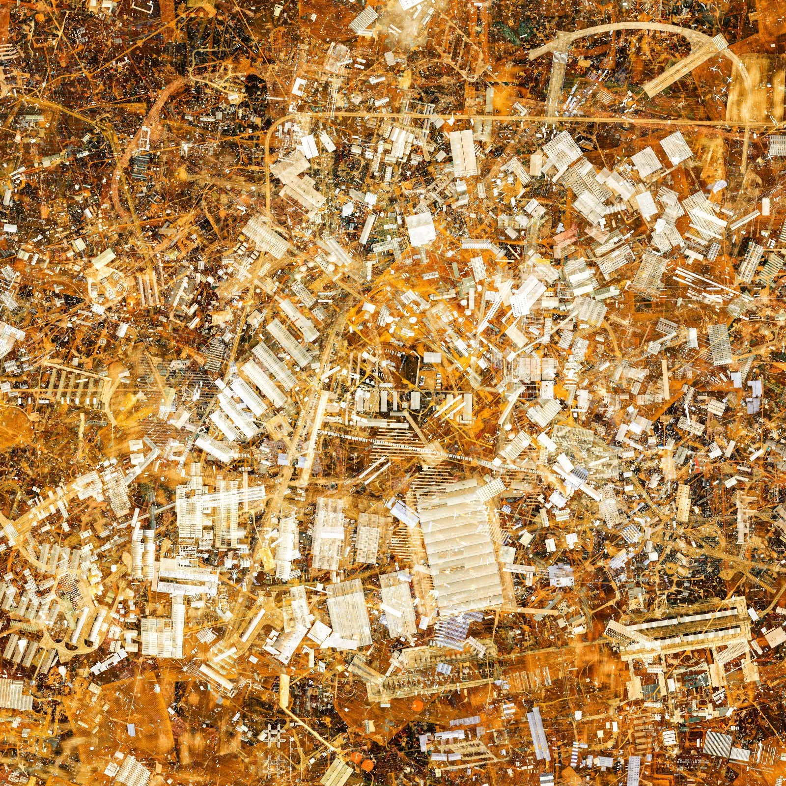
68 #1 (All 68 airfields)

68 #2 (All 68 airfields)
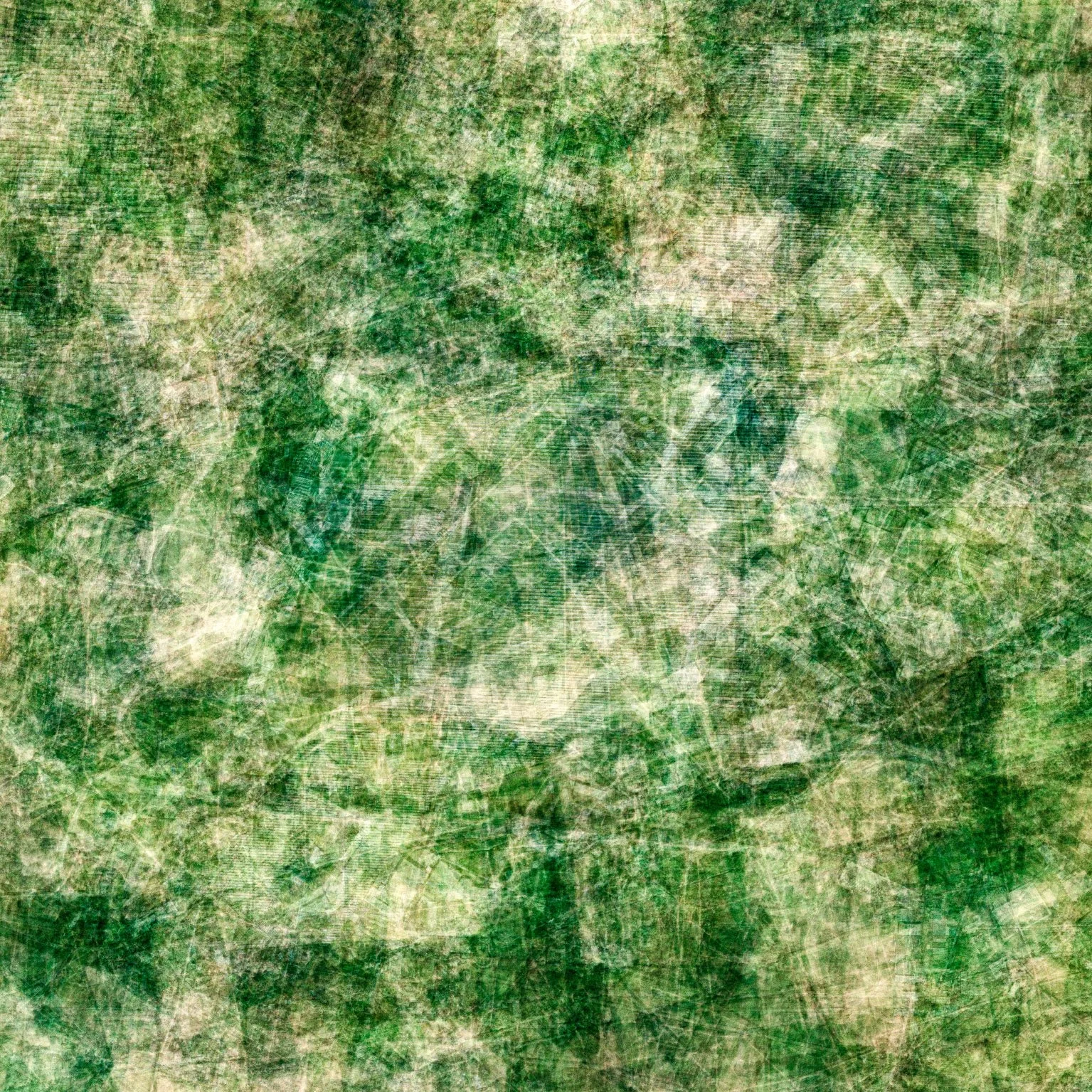
RAF (27 RAF only airfields)

USAAF (28 USAAF only airfields)
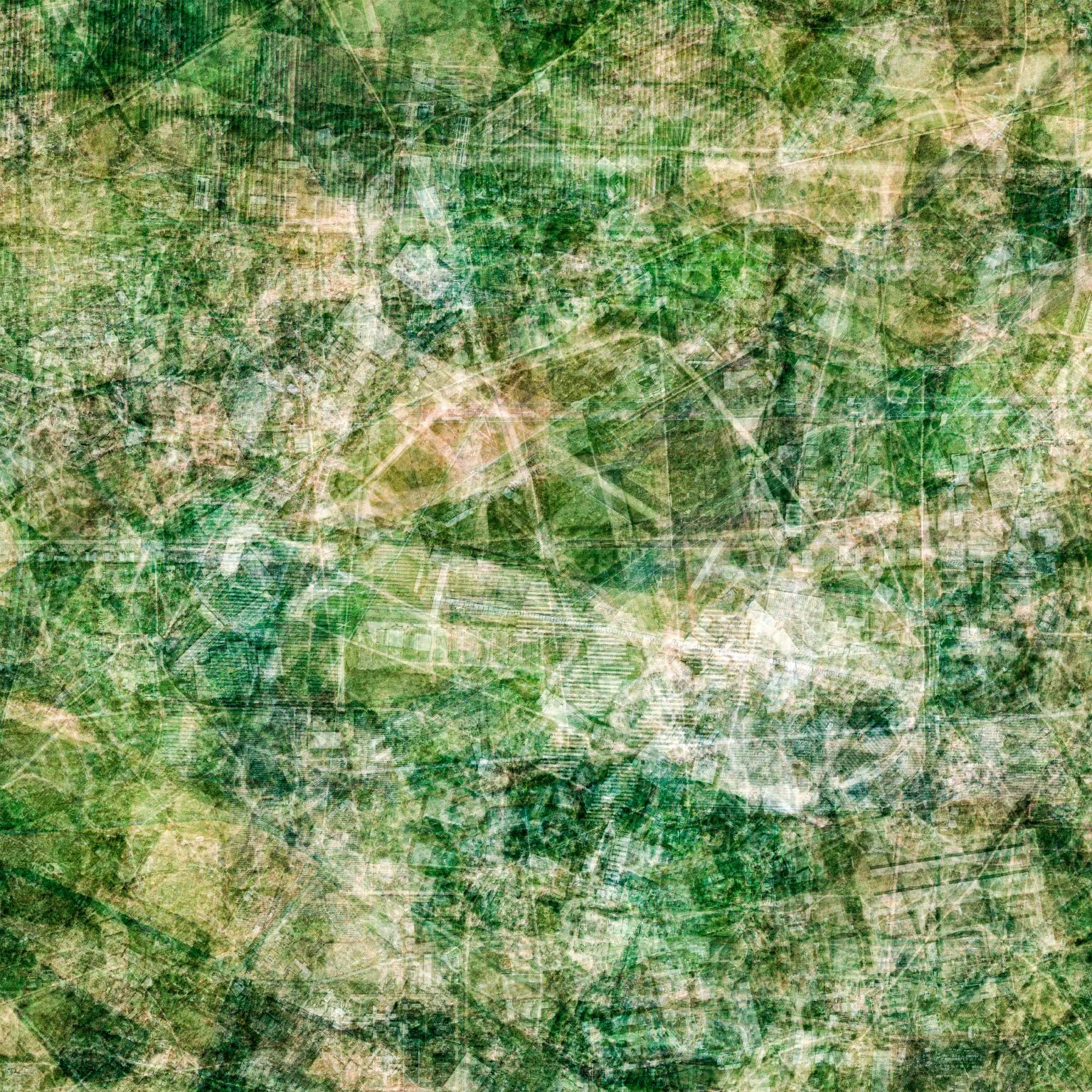
Dual RAF and USAAF (13 dual use airfields)